He applies geographic information systems (GIS) to improve renewable energy integration qualitatively and quantitatively by optimizing resources and adapting to demand.
“I am a doctor of geography, specializing in geographic information systems, cartography, and remote sensing. In my research group at CIEMAT, we fuse knowledge of the geographical area with renewable energy and the transverse, multidisciplinary vision of several experts in photovoltaic, wind, etc.,” Javier Domínguez explains.
gSolarRoof Model
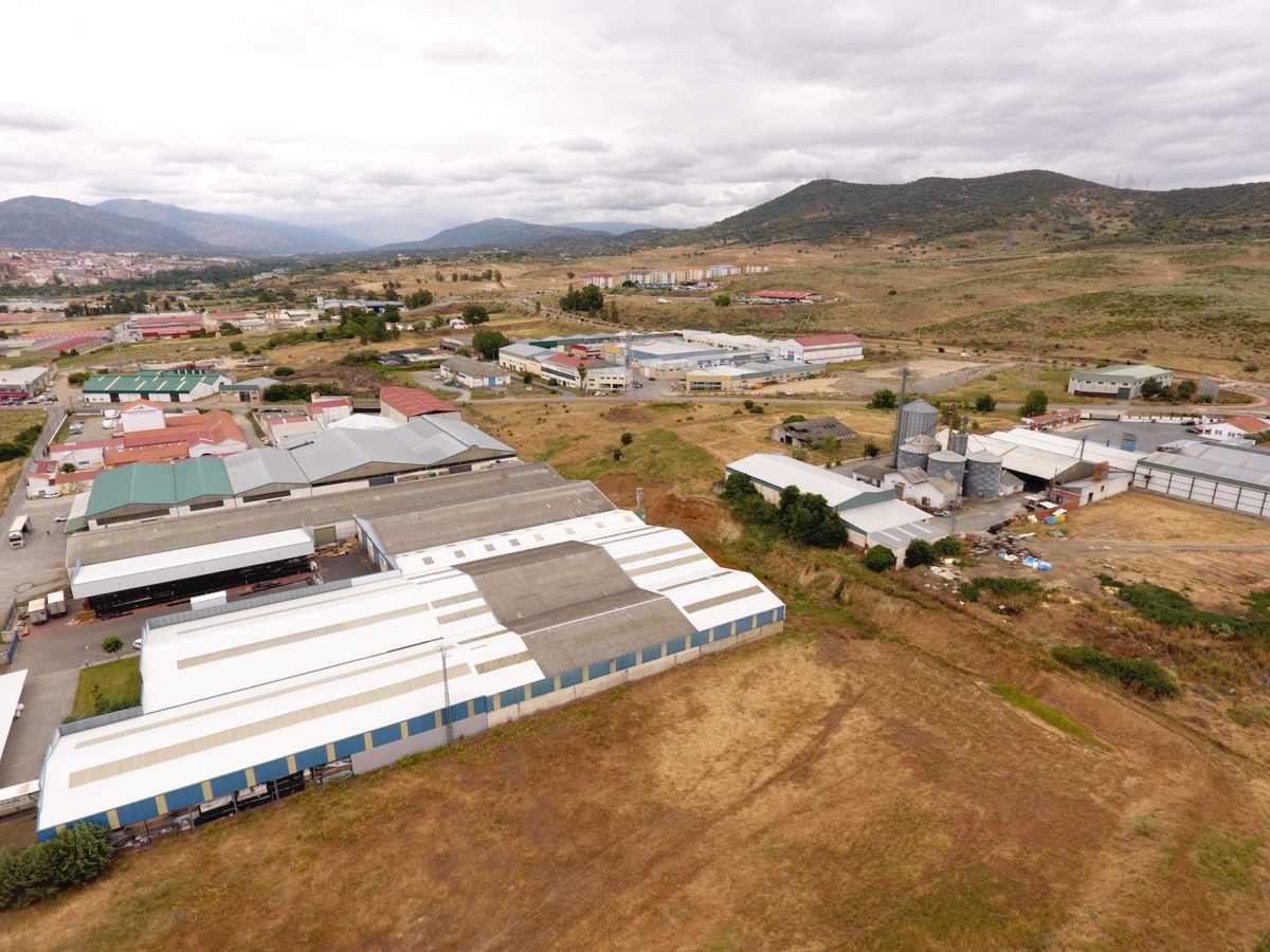
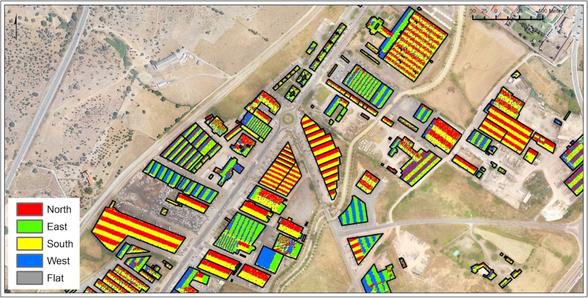
One of Domínguez’s current endeavors is the gSolarRoof model, a project funded in part by the EU (0330_IDERCEXA_4_E) with cooperation from Portugal, in which industrial parks in Extremadura have been evaluated for the application of solar panels for photoelectric and thermal use; they also use data from the National Geographic Institute (LiDAR data).
“gSolarRoof aims to develop a geographic model to assess the possibility of applying photovoltaic solar energy sources on rooftops and in urban spaces. Several city councils are actively collaborating on this project, which is developed by CIEMAT and the Universidad Politécnica de Madrid (UPM),” says Domínguez.
gSolarRoof relies on GIS tools and the use of high-resolution data to analyze the available surface area of each building. The hope is to master data capture using unmanned aircraft or drones, apply cloud computing to the model, and deliver the service of the results online by the end of the project.
In successive stages, action will be taken to expand the methodology to other energy characteristics of buildings, to provide “intelligence” (with regard to smart cities) and help with decision-making and urban planning from an energy perspective.

Use of drones and satellite information
One of the technologies that Domínguez’s research group uses most involves drones as geographic analysis tools to collect information about the terrain through geo-positioning, with the help of satellite imagery. “By using satellites, we can determine where the potential for energy production is, whether the buildings or land are inhabited, etc. It makes the production of renewable energy remarkably efficient,” the researcher explains.
“We have conducted drone flights with an approximate precision of 5-10 centimeters. We see the orientation of the roofs, how the sunlight hits, their inclination, which elements affect them. This provides the details necessary about the industrial warehouses to decide how many photovoltaic panels can be applied and calculate an annual energy generation assessment,” continues Domínguez.
He is also working on a CIEMAT wind farm project, funded by the EU. This is a hybridization project that aims to offer the industry the technology to combine solar and wind systems efficiently.
“We create a map to see if the land is capable of hosting these farms, if we can estimate production, if there is sufficient wind, solar radiation, uneven terrain, etc. This data is added to the base information we already have from the National Geographic Institute. We then make climatological models, superimposing various layers of information and creating algorithms to determine the capacity of the different areas around the country to host these kinds of systems,” Domínguez concludes.

Biomass and geothermal
In the field of biomass, CIEMAT relies on the Center for Renewable Energy Development in Almazán (Soria), where several technologies are put to the test. They work with geographic information systems to assess resources for use as biomass—agricultural waste, pruned limbs, etc.—and its possible use at power plants.
Here they also use satellite information (topography, orography, climatic variables) to locate infrastructures.
With regard to geothermal energy, they are focused on housing. “The hybridization plan that is being developed with the EU recovery plan includes the installation of several geothermal pumps in Soria, as well as participation in geothermal projects in northern Spain. This is mainly low-enthalpy geothermal energy, which applies to the heating/cooling of buildings.”
