Mass movement on slopes is a real challenge for our linear infrastructure. That is why we have partnered with the startup Detektia to anticipate terrain movements that may happen in project sites.
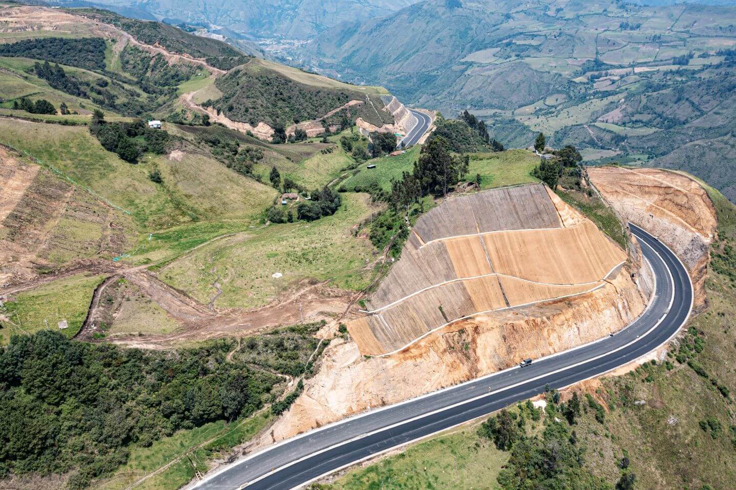
Detektia has developed a technology that helps us predict slope movements through data obtained from satellite sources, combined with other terrain variables. We are already conducting pilot tests on our Pamplona-Cúcuta road P3 (Colombia).
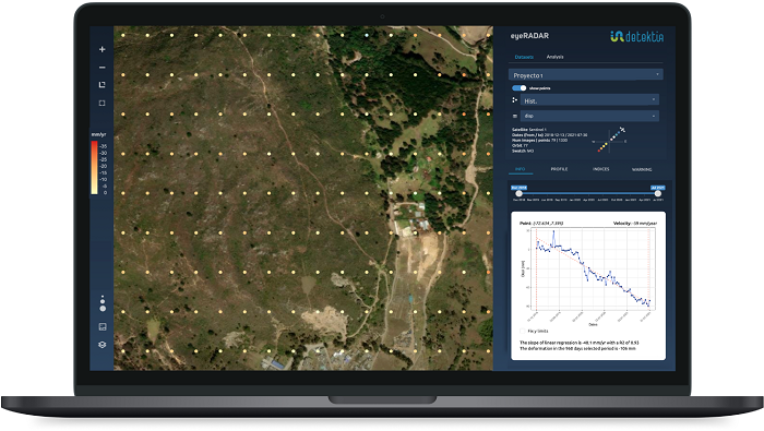
The temporal deformation series generated from satellite radar are loaded onto Detektia's EyeRADAR platform, where it is analyzed point by point, grouped by slope, or associated with each critical area identified by the project team.
"The system alerts us when the actual movement of a specific point falls outside the confidence interval of the theoretical prediction," explains Ruth Jimenez Falla, GIS engineer for the project.
Anticipating terrain movements was a challenge jointly launched by Sacyr Concesiones and Sacyr Engineering and Infrastructure in the Sacyr iChallenges open innovation program. The construction asset area of Sacyr Concesiones, the topography area of Sacyr Engineering and Infrastructure, and the Department of Corporate Strategy, Innovation, and Sustainability, which manages this innovation initiative, participate together with the technical team in charge of the P3 project in Colombia.
Different terrain behavior models have been developed in Pamplona-Cúcuta, some with static variables based on the construction site's environment and terrain that do not change over time.

"Static models are used to understand how the environment affects the project site, considering the characteristics of that environment, tree density, and intrinsic elements of the place that do not change over time. In the second type of models, which we call dynamic, we introduce variables that might affect the probability of terrain sliding in real-time, such as rainfall," explains Jiménez.
"We noticed that it was important, before starting a project, to know in which areas we could work based on the probability of failure in that site," Jiménez explains.
The versatility of these behavior models allows them to be applied before, during, and after the project, in operation and maintenance.
"Through the EyeRadar web platform, which works with artificial intelligence, we access the information and meet with the work team every two weeks to see if what the model predicted would happen in that period has occurred or not, and take feedback in an agile way," explains Jiménez.
"Fast iterations and continuous feedback from project technicians allow us to validate and advance quickly, providing the best possible information to the responsible parties for the work and infrastructure," comments Candela Sancho, CEO of Detektia and the person in charge of the project on behalf of the startup.
"In Colombia, no radar satellite technology has been used to detect this landslide threat along a road combined with dynamic prediction models, as proposed by Detektia," Jiménez says.
"We had reservations about this technology, but Detektia has helped us at every moment and has been open to our proposals. They have taught us about machine learning, DInSAR technology," Jiménez explained.
We already have a validated first dynamic model in Functional Units 1 and 2 of Pamplona-Cúcuta. We are now in Unit 4, in Bochalema, where information is being collected from the satellite.
The potential of using satellite data is also being evaluated in other business lines, such as Sacyr Maintenance."
