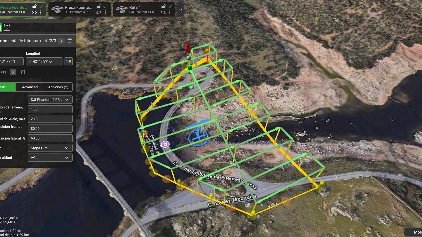
The construction and maintenance of dams require on-site work, which entails additional time and costs. For this reason, Sacyr Maintenance, in collaboration with Sacyr Holding, is working on 3D dam modeling using Pix4D software, which generates digital twins from drone imagery.
"We designate the area for the drone to fly over, and it captures overhead images along the entire path, scanning the dam's entire surface. This enables the creation of digital models with precise distance measurements," explains Gabriel Palacios, Prevention officer and Director of Drone Operations at Sacyr.
"For example, deteriorated walls with cracks can be dangerous to inspect up close. The drone follows the wall and captures a composite photograph, similar to an orthophoto but aligned with the wall, providing high-definition imagery to identify structural deficiencies. The drone can fly very close to the dam, and the closer it gets, the more detail it captures," Gabriel adds.
The digital model allows for the mapping of terrain topography and structural features, volume calculations, measurements of all visible elements, and comparative studies of different digital models taken at various times.
"Having a digital model provides a 3D-scale representation of the dam, similar to a physical model, where we can visualize, measure, and plan necessary work. This approach offers a wide range of possibilities while reducing time and costs compared to traditional methods," explain José Luis Barragán and Sergio Maestre, Head of dams O&M at Sacyr Maintenance.
Multiple Advantages
The key benefits include time savings, cost reduction, and improved safety. Often, small measurements are needed to determine an element's dimensions. Without an accurate digital model, this would require an on-site visit to the dam, which is often located in remote or difficult-to-access areas.
This technique is currently being used for dam modeling, although similar methods have long been employed in topography for land measurement and stockpile assessment.
3D modeling has already been implemented at the Linares del Arroyo (Segovia), Cazalegas (Toledo), and Estremera (Community of Madrid) dams. The goal is to extend this initiative to all dams under our maintenance program.
